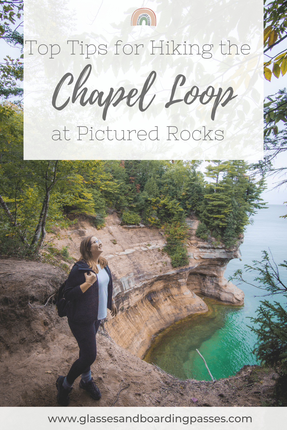
My legs were starting to burn as I accelerated my pace towards the break in the trees. I could see Lake Superior peeking through the final bits of forest ahead of me, and I couldn’t wait to get to it.
As I finally stepped up to the cliffside, I felt my breath catch in my throat. The expansive views of Lake Superior and the jagged coastline making up the Pictured Rocks was even more breathtaking in person than I had imagined. The smooth blue water seemed to stretch on forever, and was perfectly contrasted by the sharp and colorful cliffs on its shore. Taking in these views, I knew the burn in my legs was worth it.
If you find yourself in the Upper Peninsula of Michigan, the Pictured Rocks simply can’t be missed. The best way to see the Pictured Rocks from land is to hike the epic 10-mile Chapel Loop trail. This hike will take you past all the best rock formations along the coastline. It’s one of the longest hikes I’ve ever taken, but also one of my favorites.
Read on for all my best tips on how to hike the Chapel Loop trail at Pictured Rocks National Lakeshore!
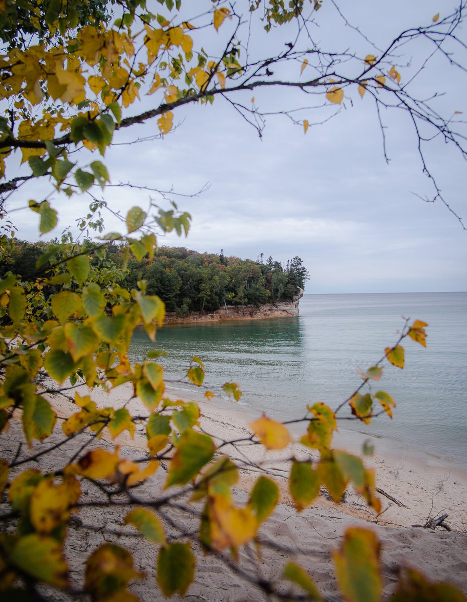
Pictured Rocks is gorgeous in all seasons, but especially in fall!
Chapel Loop Hike Overview
The Chapel Loop hike is an amazing way to see the Pictured Rocks, a dramatic series of colorful cliffs on the southern edge of Lake Superior in the Upper Peninsula of Michigan. These sandstone rocks have been carved by wind and water into intricate formations and arches and get their colors from a variety of minerals in the soil. In fact, this hike is the only way you can see these rock formations from land!
At about 10 miles with 750 feet of elevation gain, the Chapel Loop hike is a moderately difficult trail. Don’t be deterred though – I consider myself a beginner hiker, and I was able to complete it (although my feet were quite sore at the end)!
Expect to spend about 4-5 hours hiking this trail. It took me about 4 hours and 45 minutes of pure hiking time, plus an hour of breaks and photo stops. There are many gorgeous photo opportunities along the trail, so be sure to build that into your hike time!
Because the Pictured Rocks are in the Upper Peninsula, it means that summers are short. For temperatures above freezing and minimal snow, the hike is best completed between April and October.
The Pictured Rocks are part of the Pictured Rocks National Lakeshore (managed by the National Park Service). To get to the Chapel Loop trailhead you’ll have to enter the Pictured Rocks National Lakeshore, which is free of charge.
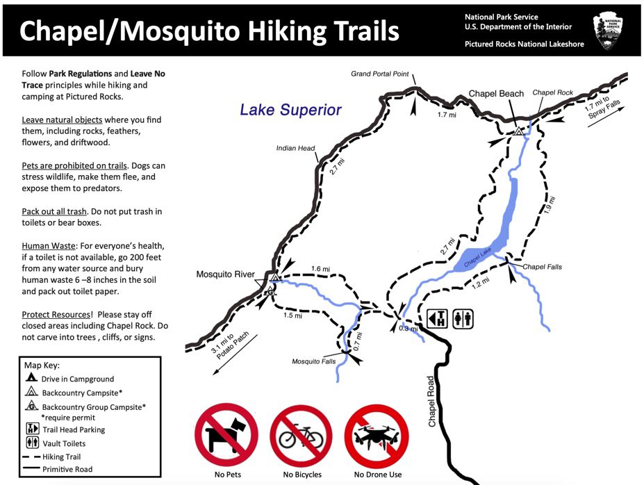
The above map is from the National Park Service’s website. For a map showing elevation changes and incline grades along the trail, check out this map from AllTrails!
Chapel Loop Hike Milestones
The following are some highlights you can expect to see along your hike! Cell phone reception is not very strong in the park, so make sure you save down a map of the trail before you head out.
Parking
The parking lot for this hike (also the parking lot for Mosquito Falls and Chapel Falls) gets EXTREMELY crowded. I cannot stress this enough. The lot fills up early in the morning and cars are lined along the road up to a mile away from the trailhead. I arrived at about noon on a mid-September day (which would be considered the shoulder season), and cars were still backed up. If you want to avoid adding an extra mile or two to your hike, be sure to arrive early in the morning to grab a spot.
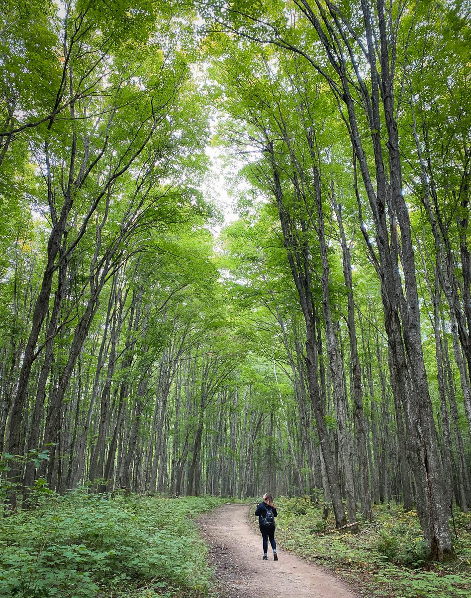
The forest near the Chapel Falls side of the trailhead was just otherworldly.
The Trailhead
The trail is a loop, so at the trailhead, you will need to decide which way to start: to the left towards Mosquito Falls, or to the right towards Chapel Falls. I would recommend starting on the Mosquito side. The terrain in this area is some of the most challenging on the trail, with lots of roots and mud, which can be a very difficult way to end the hike. (Trust me, I made this mistake and regretted it.) Conversely, the Chapel Falls side of the trail is wide, flat, and smooth, which will be a welcome way to end your hike!
Additionally, there are bathrooms at the trailhead, but in my experience they have not been very clean. Be sure to use the bathroom before heading out or be prepared to go in the woods!
Mosquito Falls
About a half mile into your hike, you’ll reach a fork in the road. To the left, you can take a slightly longer route past Mosquito Falls. To the right, you can head directly to the shore of Lake Superior. Passing the falls adds about another 0.5 miles to your hike, so on my hike, I chose to go straight to the beach. I wanted to get to the Pictured Rocks as soon as possible!
If you do choose to go to Mosquito Falls, you can plan to see a short, wide waterfall. While not as tall as some of the other waterfalls in the area, it still is a pretty stop if you have the extra energy!
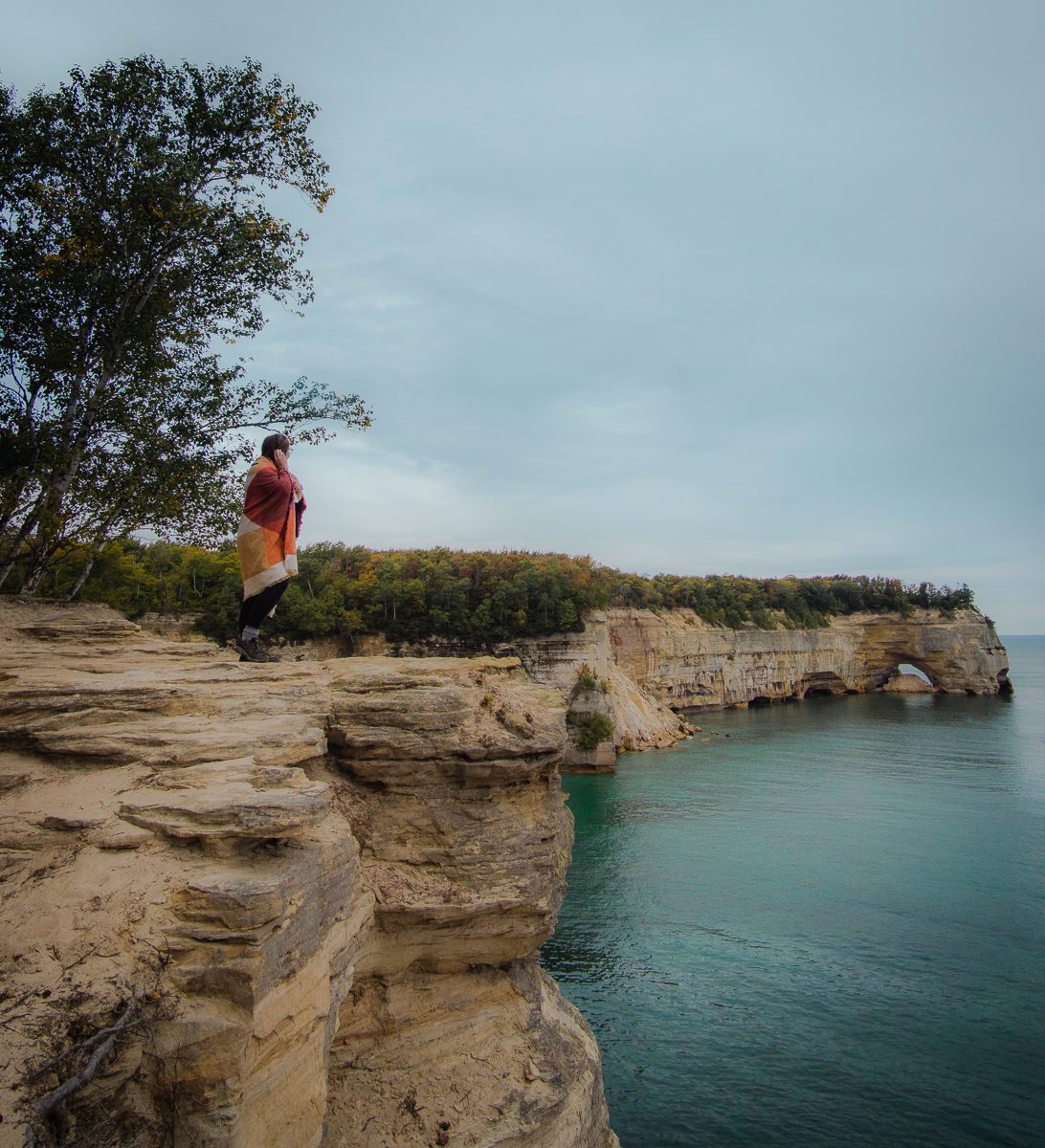
Gazing off towards Grand Point Portal.
Grand Point Portal
Grand Point Portal is a large rock archway that marks approximately the halfway point of your hike. You can step off the trail here and walk out onto the top of the rocks – it’s very wide and flat, just be careful of the steep dropoffs! From here, you can see all the way down the coastline in either direction of your hike.
Personally, I think the Pictured Rocks on the eastern side of this formation are the most picturesque. This portion of the trail hugs the cliffside, giving ample opportunities to stop and soak in the gorgeous views! Just be careful as there are also lots of steep drop offs. I’ll be honest – the miles between Grand Point Portal and Chapel Rock probably took me the most time because I couldn’t help stopping so much. So get ready, the best part of the hike is coming up!

You can see Chapel Rock in the distance from the eastern side of the Chapel Beach!
Chapel Beach
Chapel Beach is a wide beach stretching along the last portion of coastline on your hike. There are several sets of stairs along the trail that allow you to get down onto the beach. I think the best spot to go down is right before you hit Chapel Rock. You’ll be able to walk down right where Chapel Creek spills into Lake Superior. This spot also will give you your first close-up view of the famous Chapel Rock!
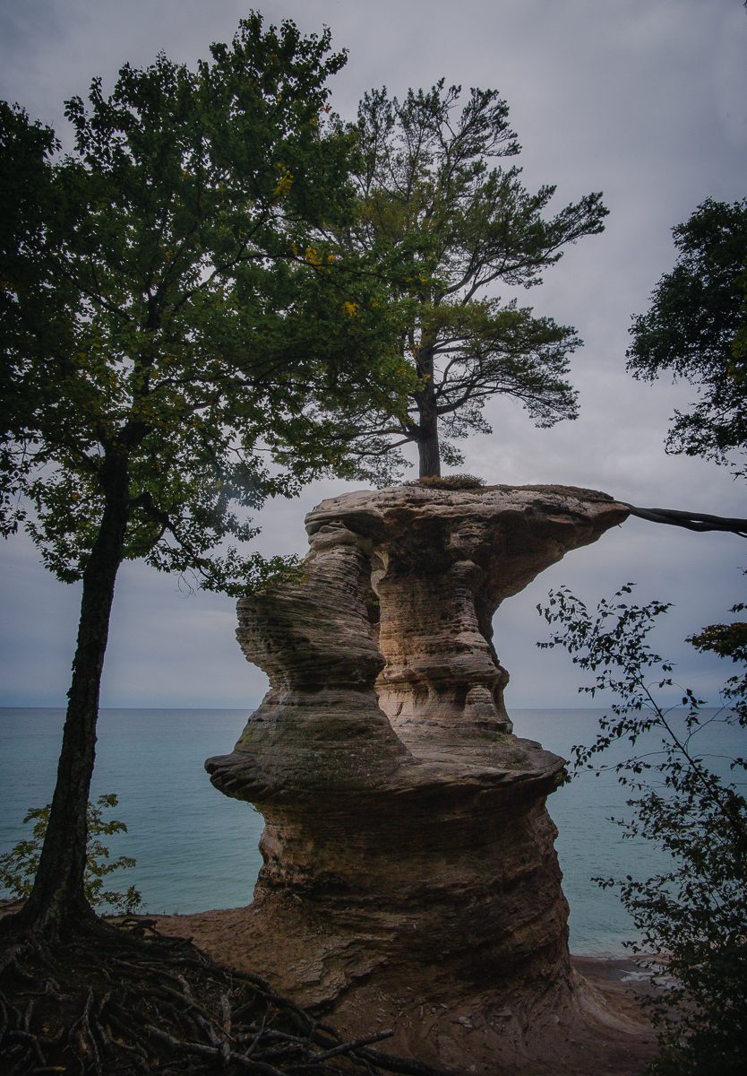
Chapel Rock! Isn’t it majestic?!
Chapel Rock
Chapel Rock is the grand finale of the Pictured Rocks portion of this hike! It’s one of the most famous landmarks in this region, and for good reason. The seemingly gravity-defying rock formation with the tree on top is breathtaking. Even though I’d seen plenty of pictures of this monument before my hike, I was still shocked at its size and beauty once I saw it in person.
You’ll first see Chapel Rock up close from a viewing platform after exiting the beach. When you climb up the stairs, you’ll have another chance to see it from above.
Once you’ve gotten your fill of Chapel Rock, it’s time to say goodbye to Lake Superior and Pictured Rocks and head back into the forest to finish your hike.
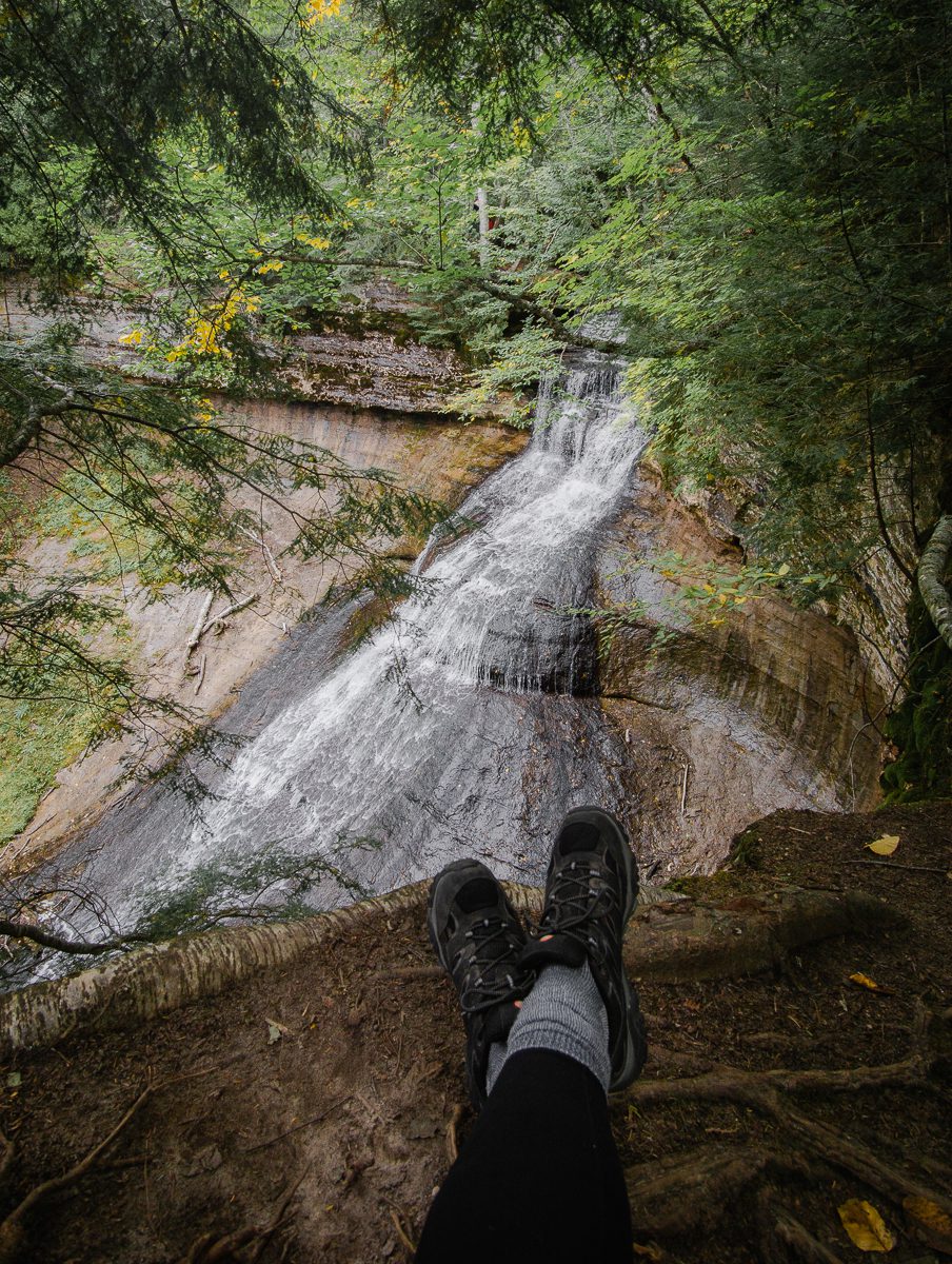
Chapel Falls from up close!
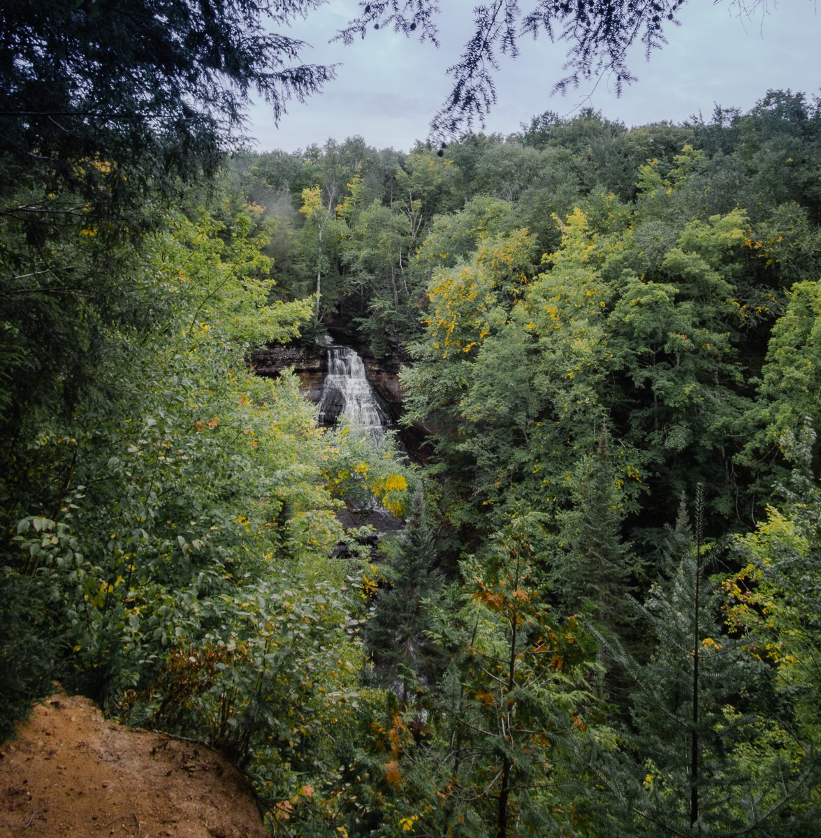
First look at Chapel Falls after leaving Chapel Rock.
Chapel Falls
The last major milestone of your Pictured Rocks hike is Chapel Falls! This 60-foot high waterfall is a gorgeous natural waterfall surrounded by forest. In the spring, wildflowers also surround the area. In the fall, the surrounding leaves will turn beautiful shades of yellow and orange.
You can plan for two viewpoints: first, head-on and farther away, and then second close up on the side.
From here on out, the trail winds through the lush green forest. The path is mostly wide and packed down, making for a smooth end to your hike! Congratulate yourself on making it all the way around!
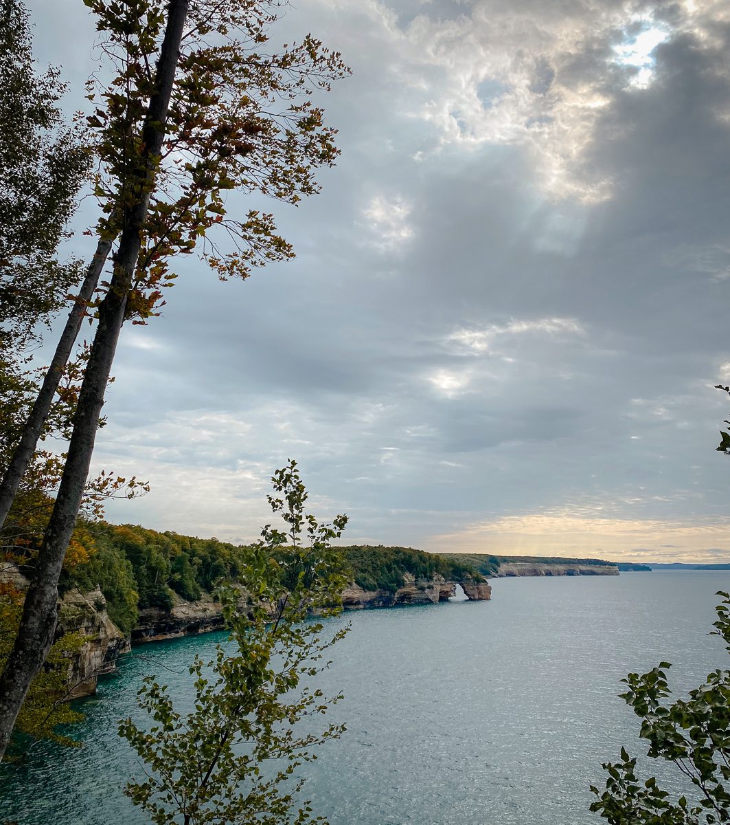
The sun finally peeked through the clouds as we ended the section of our hike along the coastline.
What to Pack on Your Pictured Rocks Hike
Since the Chapel Loop hike will likely take 4-6 hours, it’s important to pack all the necessary fuel to keep your body going. This includes plenty of water (there isn’t any at the trailhead) and high-energy snacks (my favorites are the nut butter filled Clif bars, trail mix, and beef jerky).
I also always wear sunscreen and bug spray when out exploring – the bugs can get particularly bad as you walk in the forest and through muddy terrain.
Large wildlife is not overly common near the trail, but I brought my bear spray just in case.
As this is a somewhat strenuous hike, wearing hiking shoes is a must to keep your feet comfortable and blister-free. These hiking shoes absolutely saved my feet on this hike! I also wore layers (a tank top with a zip up jacket over it) since the temperature can vary quite a bit – the shaded forest and windy cliffs can get chilly, but after several miles of hiking, you’re likely to get hot!
Finally, as with any time outdoors, be sure to follow the Leave No Trace Principles by respecting the wildlife, disposing of trash properly, and leaving the park in better condition than you found it.

Staying at a cabin in the UP will give you all the gorgeous starry night views!
Where to Stay Near Pictured Rocks
Despite being a remote area, there are lots of options when determining where to stay near Pictured Rocks! If you’re feeling adventurous, you can camp in the park (there are even two campgrounds right off the Chapel Loop hike trail). If that’s not up your alley, there are also a few hotels in nearby Munising. You can also find plenty of cabins and Airbnbs within an hour driving distance. We stayed in a cabin in the town of Au Train, which was perfect for a quiet night of stargazing in the wilderness!

So proud that we finished all 10 miles of the Chapel Loop hike!
LGBTQ+ Considerations
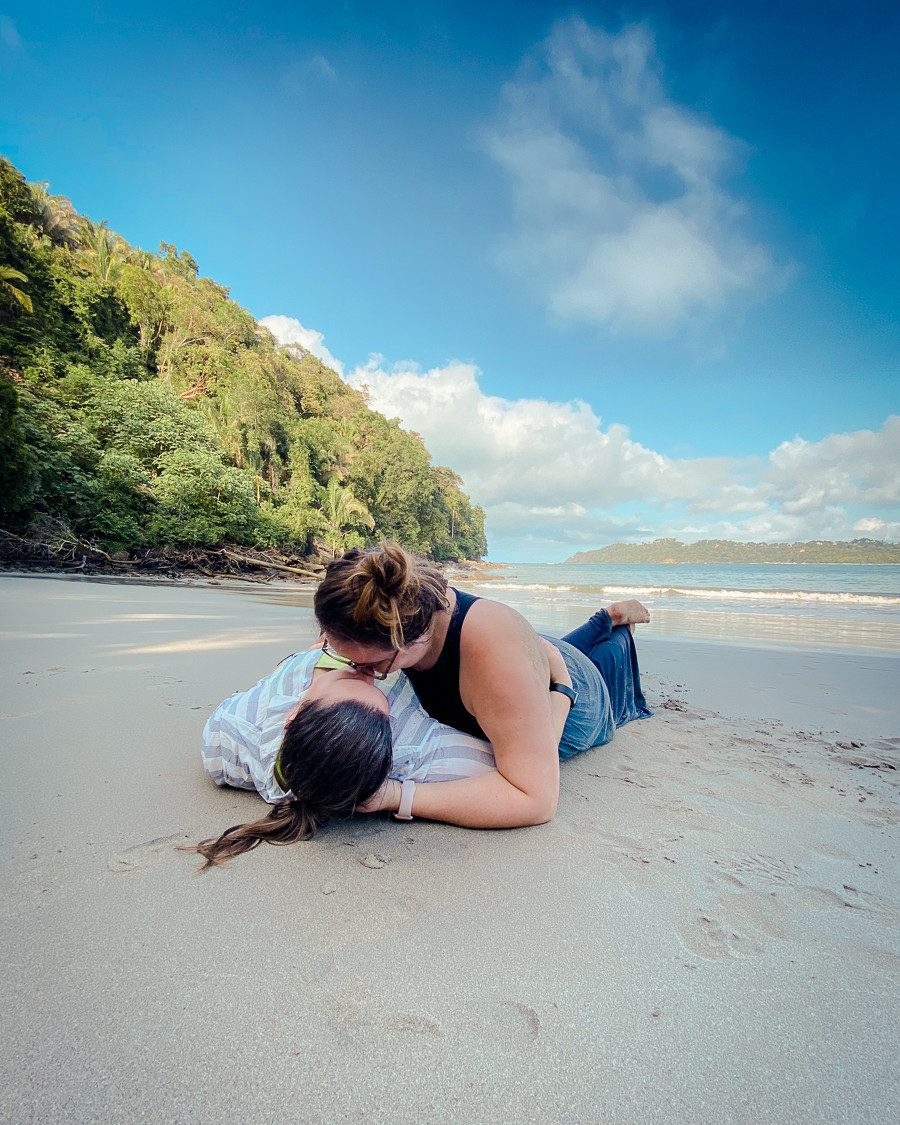
Pictured Rocks is in a very remote part of northern Michigan that is generally fairly conservative. We visited right before the 2020 presidential election, and the ratio of Trump to Biden yard signs was approximately 2:1. Seeing things like this always makes me feel a little on edge. However, my wife and I didn’t encounter any issues or even odd looks during our stay. Plus, one of the perks of hiking is that there are often not very many people around, meaning we were able to hold hands and feel carefree taking cute couple photos.
Read more: Top Safety Tips for Queer Travelers
Overall
I hope you’re ready to conquer the Chapel Loop trail! With such gorgeous views, this hike is a must when visiting the Pictured Rocks. While it was definitely challenging, it is doable by both experienced and beginner hikers – I was so proud of myself when I finished, and I know you will be too.
Have you tried to hike the Chapel Loop Trail in Pictured Rocks? Let me know how you liked it in the comments!
Read more: United States Travel Guide
Note: this post may contain affiliate links. If you click on a link for an affiliate partnership, I may earn a small commission at no extra cost to you. This helps keep this blog up and running. Thanks for your support!
This post was last updated on September 28, 2020.


Wonderful post as I expected from previous ones !! Especially the descriptive term “otherworldly” in the forest shot, and the starry night sky by the cabin.
Thanks a million !
Thank you so much for this descriptive hike. I am really curious about the stretch along the cliff. My friend and I are planning this trip in October and I would like a little more detail on what the trail is actually like along the cliff edge. I’m a little height challenged so I am wondering if I would be able to tolerate this portion of the hike.
You’re welcome! We went in October as well and it was beautiful. The trail is well maintained, and there only a few very short portions that are close to the edge of the cliff. For most of the section along the water, there are options to get closer to the edge (turnoffs and such), but you don’t have to if you don’t want to. I never felt scared or worried that I would fall, and there are lots of trees around to hold onto if there is a particularly scary section!